
Depth
300 m
Max. Speed
2,5 knots
Azimuth propulsion
4 x 14 kg
Option
Manipulator arm



Overview
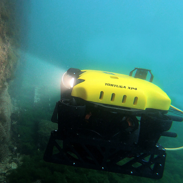
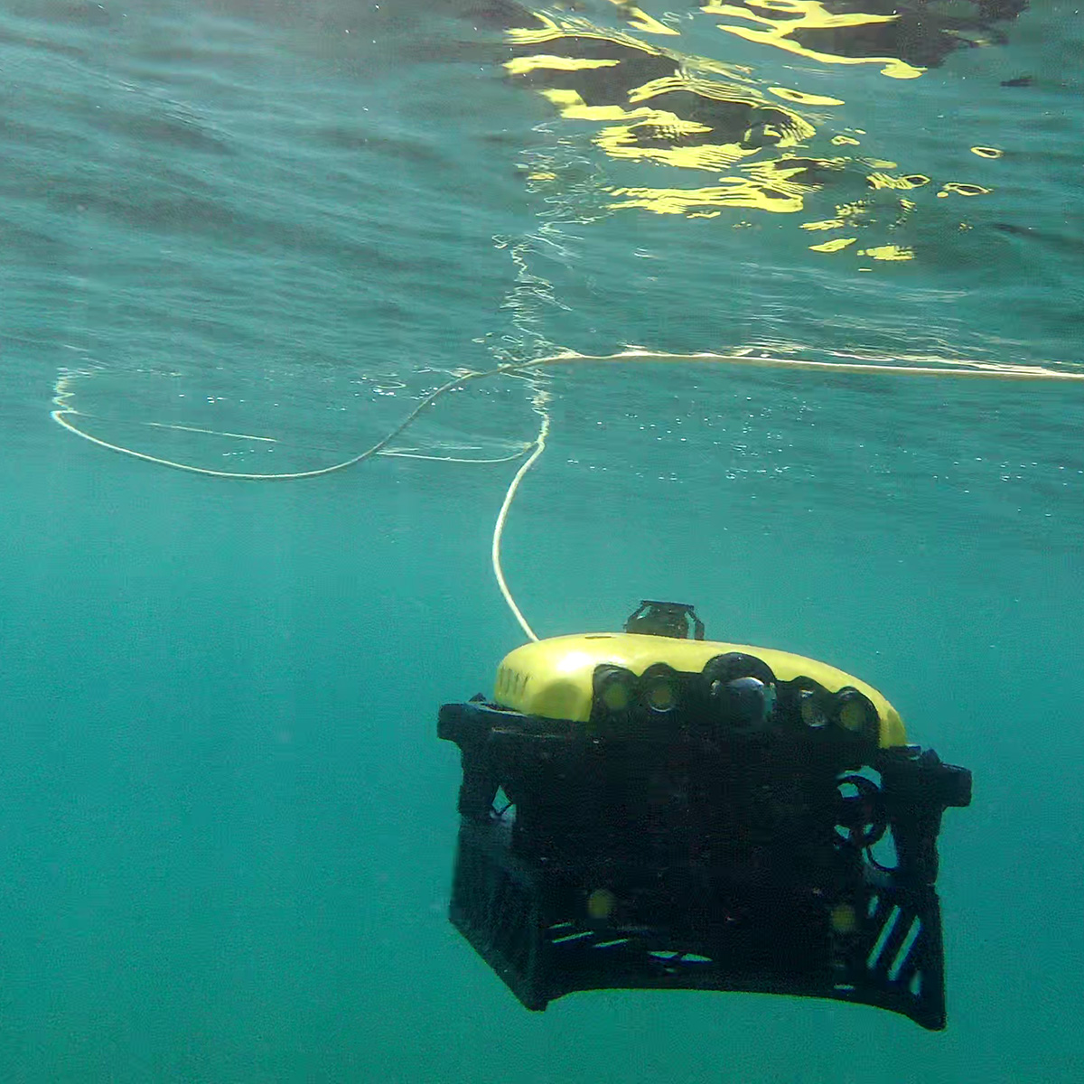
TORTUGA XP4: Compact, Modular High-Performance ROV
The TORTUGA XP4 is a high-performance inspection ROV rated to 300 m, combining compactness, stability and advanced integration capabilities. With 8 thrusters and 6 degrees of freedom, it delivers highly precise station keeping and a top speed of 2.5 knots.
It provides a versatile technology platform that adapts to a wide range of mission-specific configurations.
Key Features
-
Inspection down to 300 m
-
Top speed of 2.5 knots
-
Azimuthal control architecture
-
Configurable multi-sensor platform
Photogrammetry version
TORTUGA XP4-HYDRO – Photogrammetry ROV
A dedicated solution for high-precision underwater 3D reconstruction.
Built around an integrated photogrammetry sensor (HYDRO 300 type), the system enables:
-
Sub-millimeter 3D reconstruction
-
Port and offshore structure inspection
-
Scientific documentation
-
Wreck and complex structure analysis
-
Underwater metrology
Why is the XP4 ideal for photogrammetry?
-
Active pitch and roll stabilization
-
Excellent current holding
-
Precise positioning
-
Compact platform minimizing hydrodynamic disturbance
-
Sonar and navigation integration for georeferencing
This configuration turns the XP4 into a true underwater measurement and 3D modeling tool.
Brochure
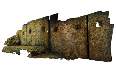
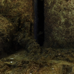
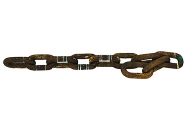
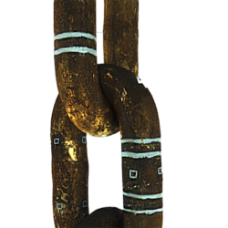
3D reconstruction:
 |
 |
 |
 |
Search and Rescue version
TORTUGA XP4-SR – High-Performance Search & Rescue ROV
Optimized for search, detection and securing operations
The XP4-SR version is specifically designed for:
-
Search & Rescue missions
-
Target detection and identification
-
Precise geolocation
-
UXO / mine countermeasures (MCM)
-
Rapid inspection of sensitive areas
Rated to 300 m, the XP4-SR weighs 43 kg in air and is neutrally buoyant in water.
Onboard endurance
The SR version features onboard batteries providing up to 4 hours of endurance.
Advanced sonar & navigation suite
-
Side-scan sonar (SSS)
-
Forward-looking imaging sonar (FLS)
-
INS / DVL / USBL
-
Georeferenced automatic navigation
-
Acoustic mosaicking software
The SR configuration is a complete solution for rapid detection and response.
Request a quote
Fields marked with an * are compulsory.
